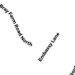
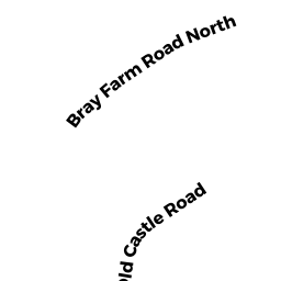
44 BRAY FARM RD NORTH
Owner Information
GIANGREGORIO STEVEN J
44 BRAY FARM RD NORTH
YARMOUTH PORT, MA 02675


Property Details
44 BRAY FARM RD NORTH is classified as a Single Family Residential (Colonial).
The primary structure on this property was built in 1987. There are 6259ft2 of built area within this property. There is 2606ft2 of residential/living space within this property.
44 BRAY FARM RD NORTH is valued at 697000. The land is valued at 265400 and the structures are valued at 422200. There is an additional valuation of 9400 on this property.
The most recent deed for 44 BRAY FARM RD NORTH is recorded at the local registrar in Book D1159164, Page 0. 44 BRAY FARM RD NORTH was last sold on 2011-01-31 for 100.
Assessment data from fiscal year 2022.
Flood Data
This property has multiple flood prone designations.
| Zone | Description | BFE | Area |
|---|---|---|---|
| AE | within floodplain | 14 | 0.91 (44.78%) |
| VE | coastal flooding with wave action | 16 | 0.48 (23.7%) |
This information is sourced from the FEMA National Flood Hazard Layer. See our full disclamer.
Broadband Internet Providers
| Provider | Type | Bandwidth (mbps) | |
|---|---|---|---|
| Viasat Inc | Satellite | 35 | 3 |
| T-Mobile | Fixed Wireless | 25 | 3 |
| GCI Communication Corp. | Satellite | 0 | 0 |
| HughesNet | Satellite | 25 | 3 |
| Comcast | Cable | 1000 | 35 |
| Verizon New England Inc. | DSL | 5 | 0 |
| VSAT Systems, LLC. | Satellite | 2 | 1 |
Broadband service provider data from December 2020.
Adjacent Properties
- BRAY FARM RD
EXEMPT VACANT owned by TOWN OF YARMOUTH - 54 BRAY FARM RD NORTH
Single Family Residential owned by HARRIS WARREN CHARLES M - 50 BRAY FARM RD NORTH
Developable Residential Land owned by TAYLOR JEFFREY W - 28 BRAY FARM RD NORTH
Single Family Residential owned by FIELD CRAIG A - 32 BRAY FARM RD NORTH
Single Family Residential owned by DOMBROWSKI GERARD H TRS - 38 BRAY FARM RD NORTH
Single Family Residential owned by GOVONI THOMAS